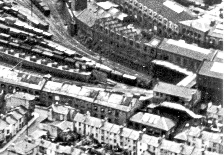
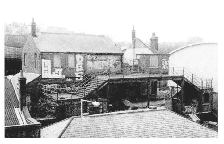
ABOVE: This aerial photo shows
the part of the site concerned in this chapter. The Pay Office, footbridge
access and staircases can all be seen on the right hand side of the picture.
The row of warehouses that run diagonally from middle left to bottom right are
those that form the frontage to New York Street (now New England Road). These
would have originally been the old Fyffe’s Bananas Warehouses at the time this
photo was taken.
The Lower Goods Line can
be seen fanning out from under the walkway and into a multitude of sidings. To
the immediate left of the footbridge is the southern end of the extension on
its piers, built out over the track. Below that, in the far right bottom corner
are a few of the houses mentioned elsewhere in this chapter, that were cleared
away when New England Street was widened and modernised. The
The curved wall of The
Works Buildings beyond the walkway later formed the boundary of the car park
before development, leaving the walkway as a precarious dead end for some 20
years before redevelopment. The majority of the sidings in this picture were
either fairly accessible or overgrown between 1970 and roughly 2002 and were
popular with dog walkers so access was fairly easily gained.
The squat, single storey
building just left of the to centre of the picture is where the access ramp to
the car park would have curved across the goods line and descended alongside it
to the top left of the picture. It is interesting to note that the car-loading
ramp in this photo (diagonal wall with white square objects on, centre left)
formed the base of a Post Office van parking area for about a decade and a half,
prior to redevelopment. The space below the drop and behind the warehouses
would later be part of the Clifford’s Auto Factors car park with the wall
acting as a divider for the 2 respectively.
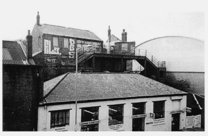
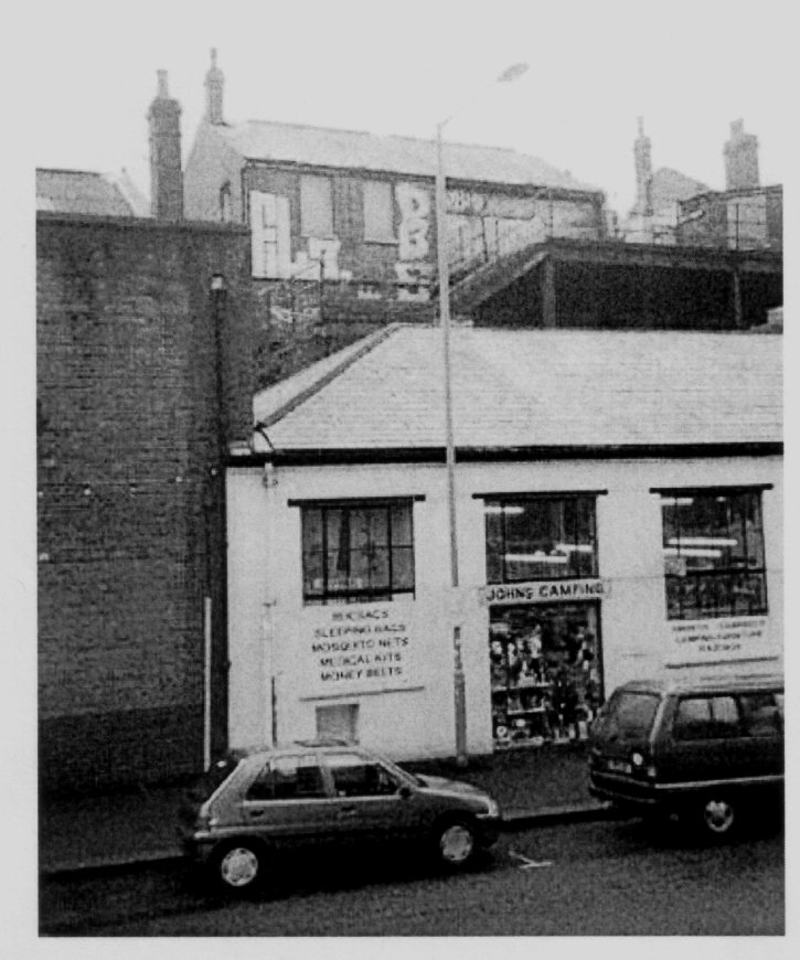
ABOVE & BELOW: John’s Camping from street level in 2003.The wall of
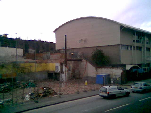
Martha’s Barn Furniture can be seen to the left. These buildings were originally Warehouses owned by Fyffes Bananas and were cleared when the site was redeveloped in 2004. At the present time (August 2008) a high-rise block called OneBrighton is being constructed on this spot. Details of OneBrighton are shown elsewhere on this website.

Above:
The Pay Office & Works Entrance viewed from the rear. The footbridge was
the original access to the Site, crossing the track bed of the Lower Goods
Line, underneath.