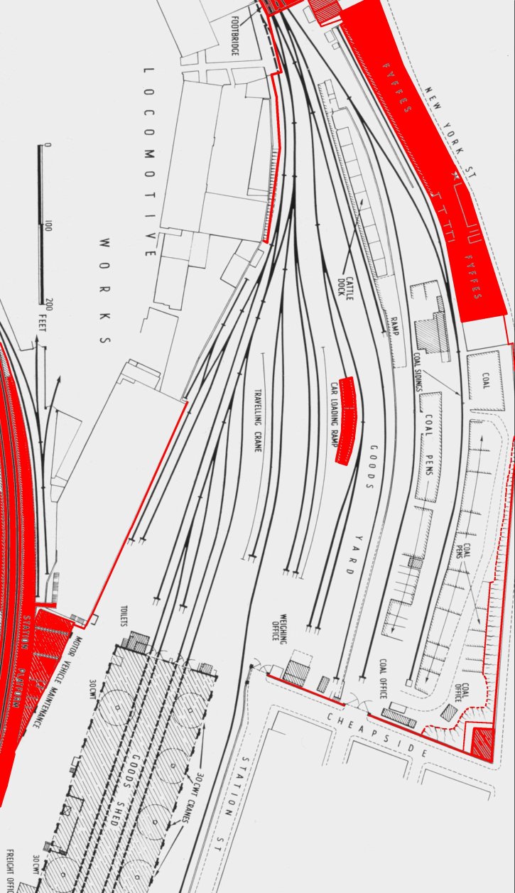
ABOVE: This 1930s plan shows boundary walls, structures and earthworks on the site that remained unaltered as at 2003 (the point at which the site started to be redeveloped), shown in red. The majority of this site was taken up by small used car dealerships, the coal office (bottom right) was used by Harvest Forestry and the area below the Fyffe’s building was used as a car park for Clifford’s and the post office until 2005. The Fyffe’s buildings themselves contained (from top of map): John’s Camping, Martha’s Barn Furniture and Clifford’s Auto Factors. All were demolished in 2005. In 2006 none of the layout shown is still in situ, save for the road at the top right (although now massively altered). This was

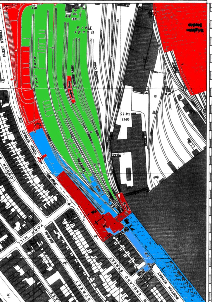
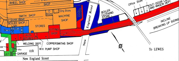
ABOVE & BELOW: This 1930s map has been coloured to show what remained of The Works site as at 2003 (immediately prior to the commencement of redevelopment), relative to the site as it would have appeared at its zenith. The red areas are structures which are still in situ, and either accessible or derelict, the blue areas are accessible with relative ease and the green areas are derelict and inaccessible. Whilst the boundaries of the areas are accurate and have been surveyed on foot, the extent of the inaccessible areas is largely unconfirmed. Note that the site has been cleared in its entirety since 2003.

BELOW: This map (an overlay from Google Earth) shows the overall site of Brighton Locomotive Works as it appeared around 1890, overlaid onto a present day map of the area. The map serves to give a fantastic and very good illustration of just how big the Works building actually was, as there is next to nothing that would have hinted at the sheer scale of this leviathan of a building, save the support pillars adjacent to new England Street, that originally supported the extension over the Lower Goods Yard Track bed.
