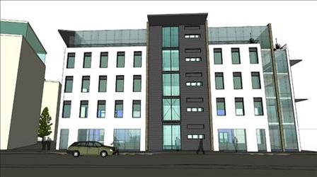
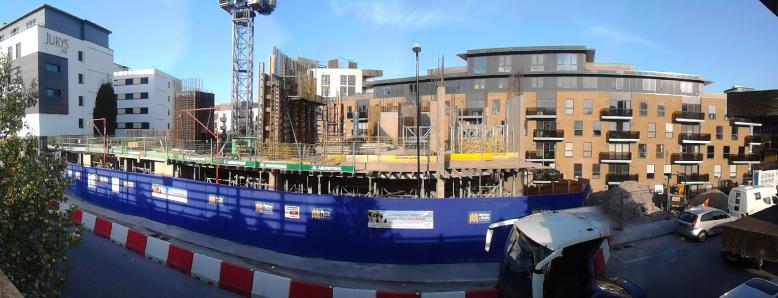
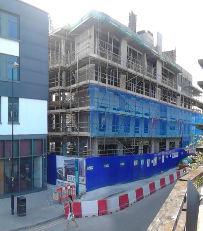
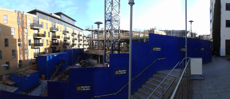
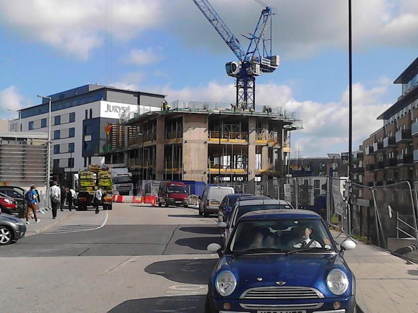
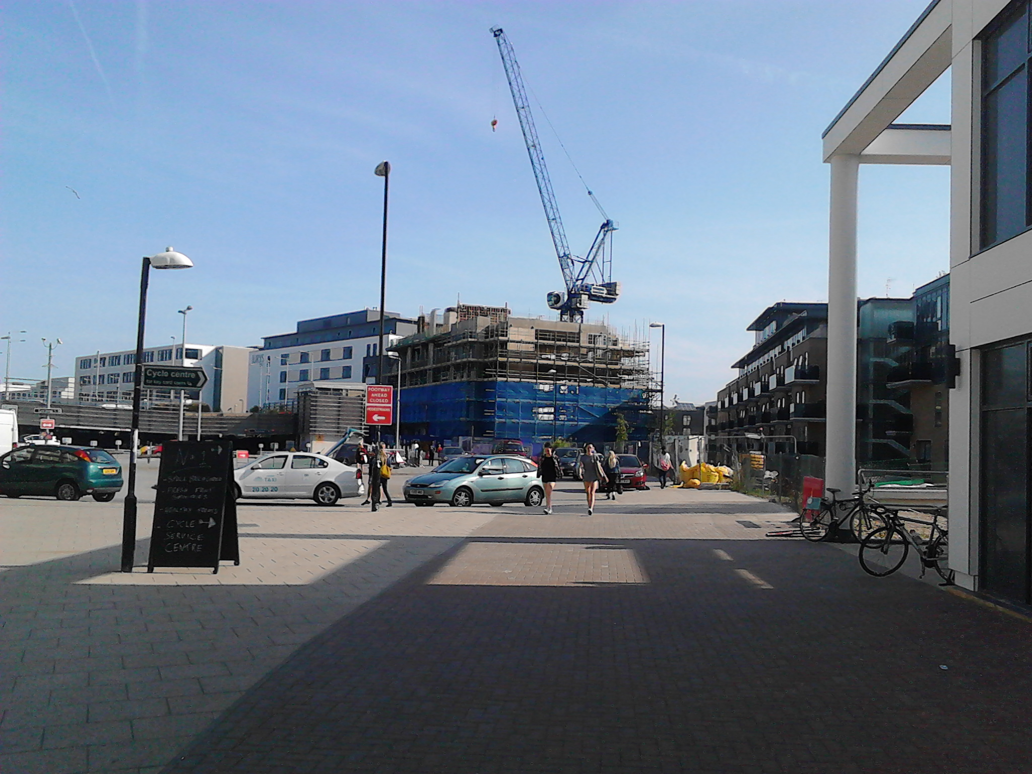
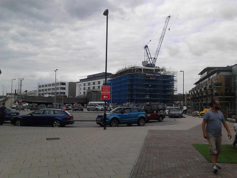
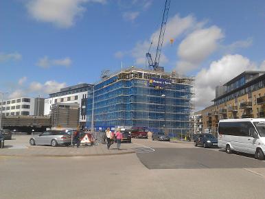
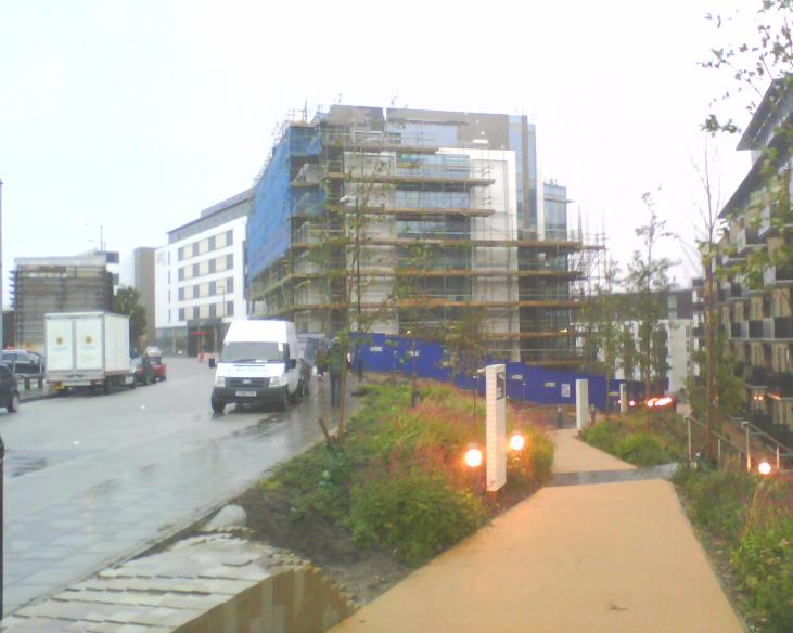
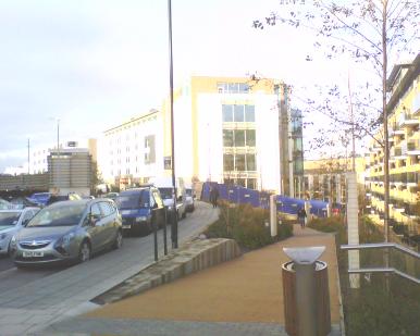
ABOVE: A very early digital artists' impression of what the
finished structure of CityView will look like. The view is looking East from the multi storey car park, towards Saint Bartholomews Church. Image owned by McAleer Rushe Group.
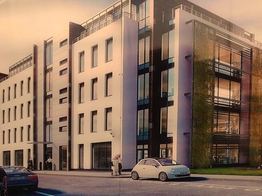
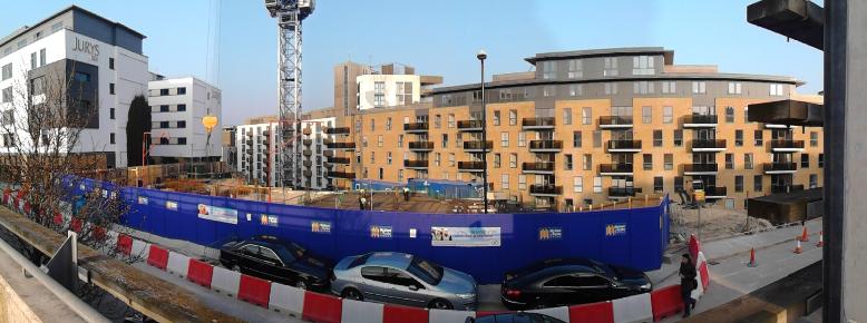
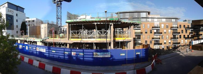
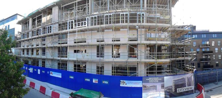
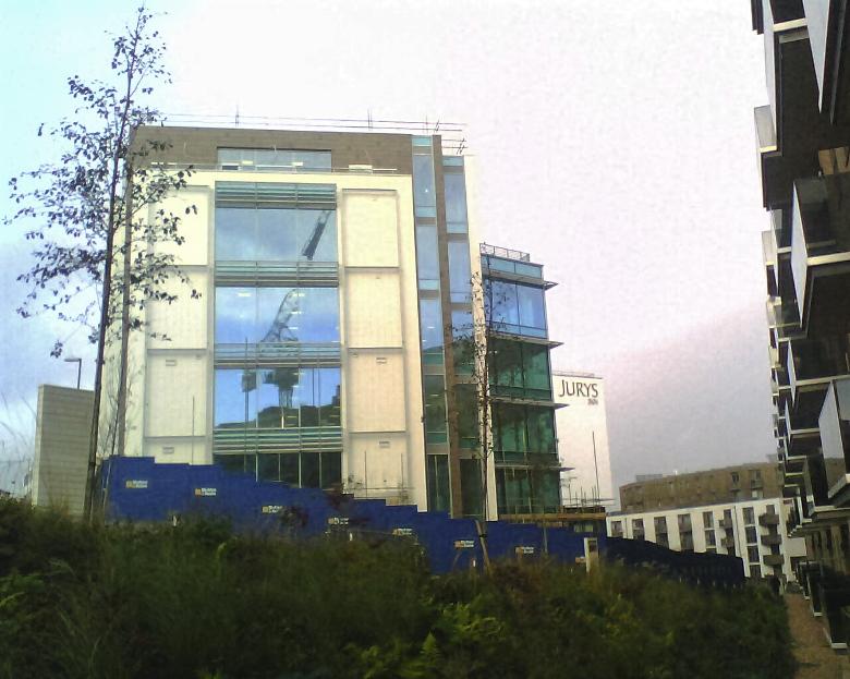
ABOVE: Artists' impression of what the
finished structure of CityView will look like. The view is looking
roughly north-east, towards the London Road Viaduct and Preston Park. The Jurys Inn Hotel would stand just to the left of this view and the photo would be (theoretically at least) taken from one of the entrances to the multi storey car park opposite.
Image owned by McAleer Rushe Group.
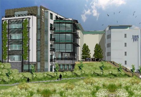
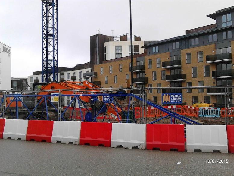
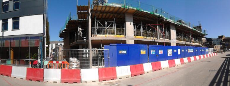
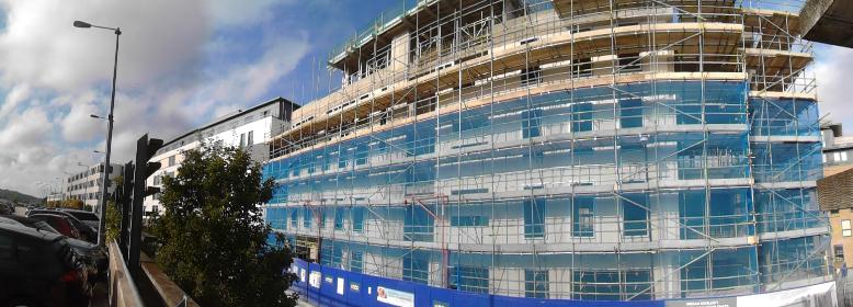
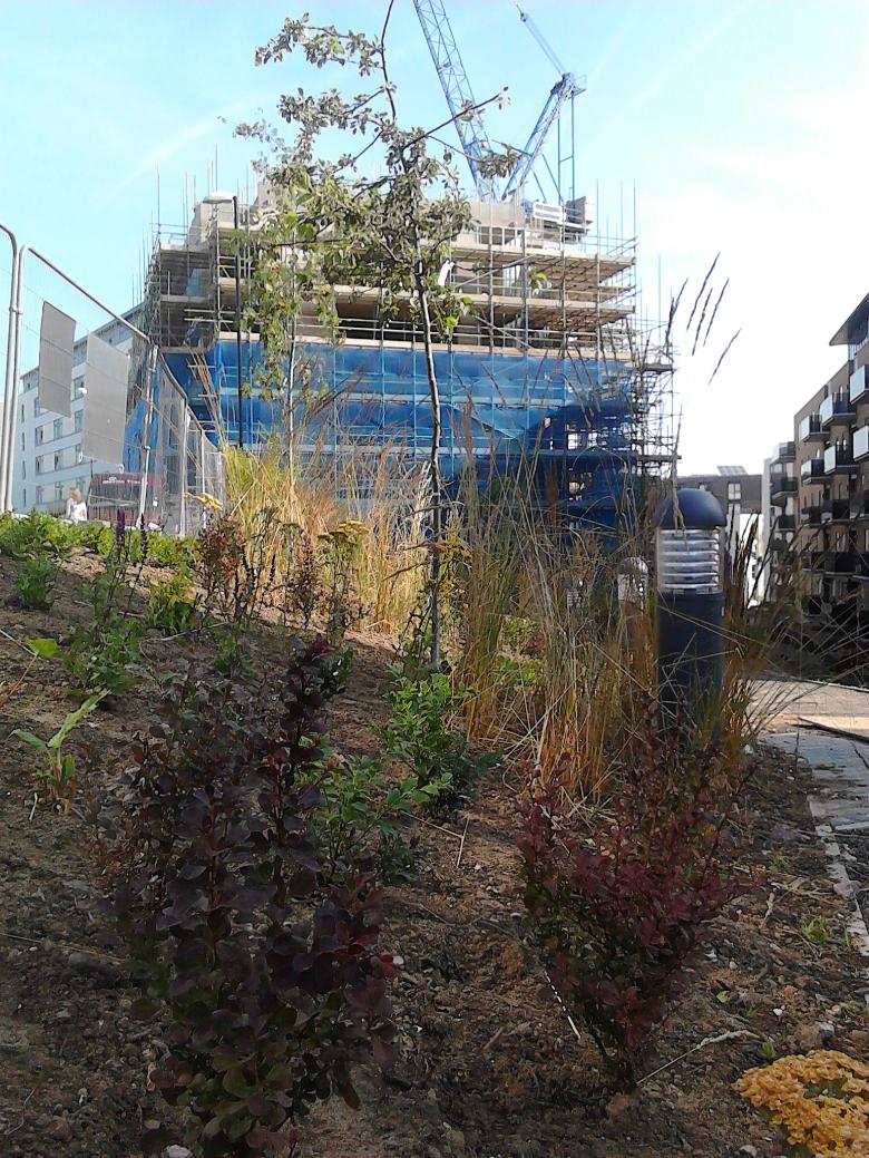
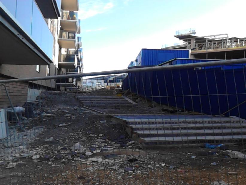
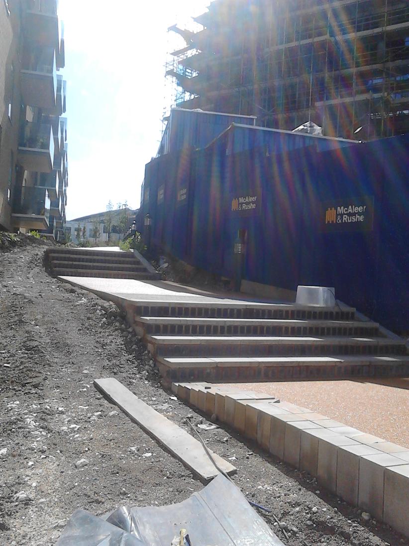
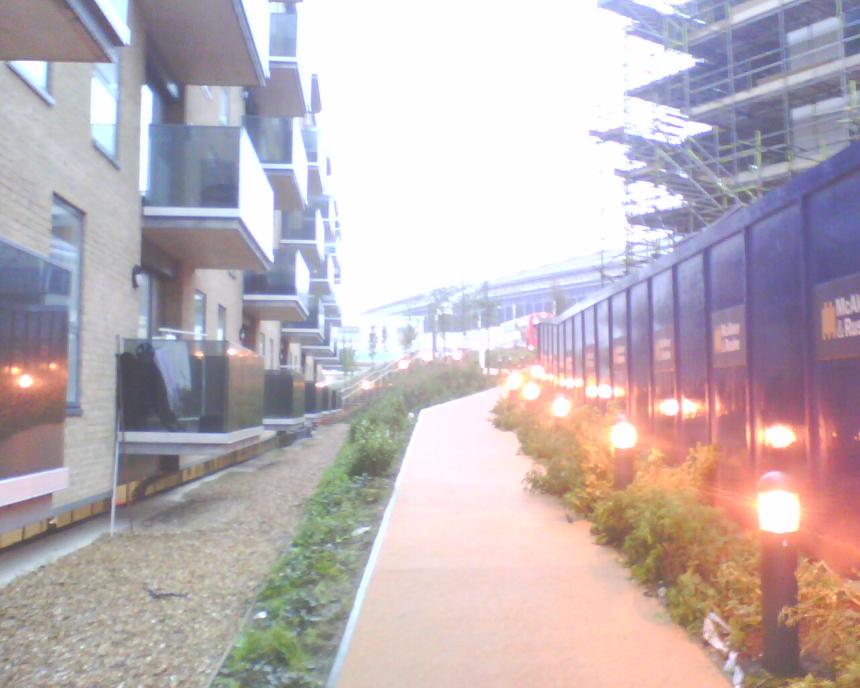
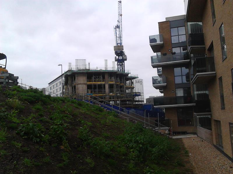
ABOVE: Artists' impression of what the
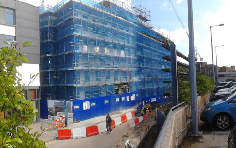
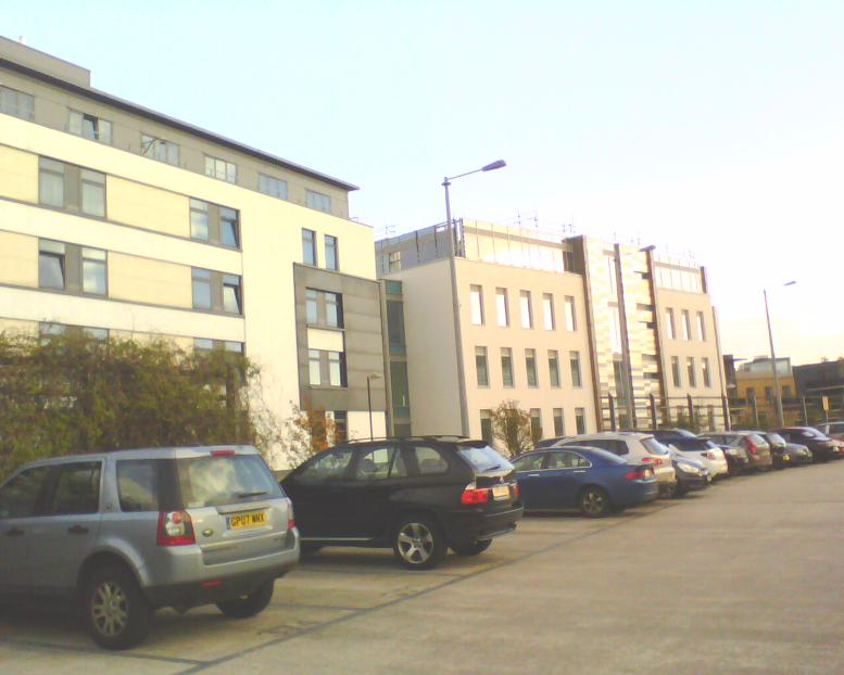
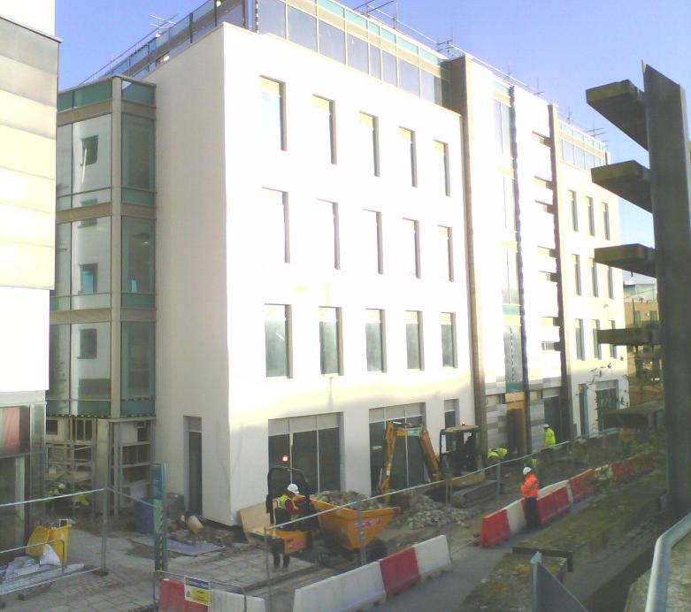
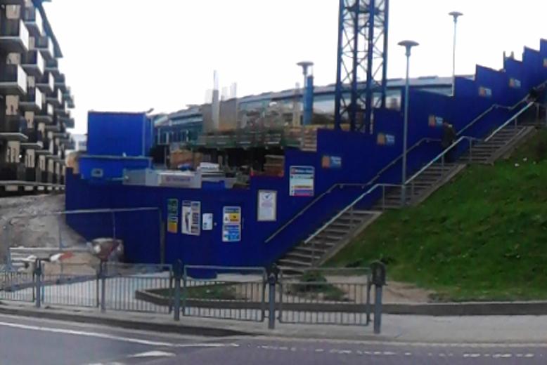
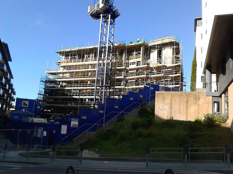
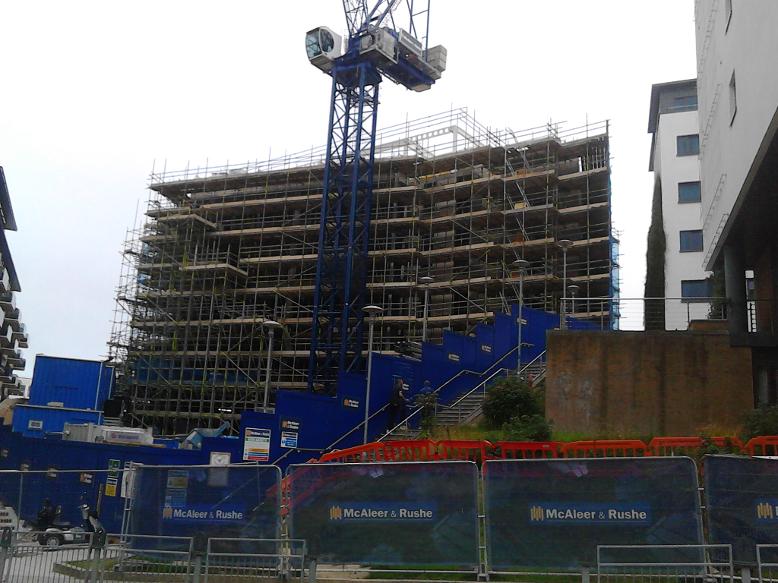
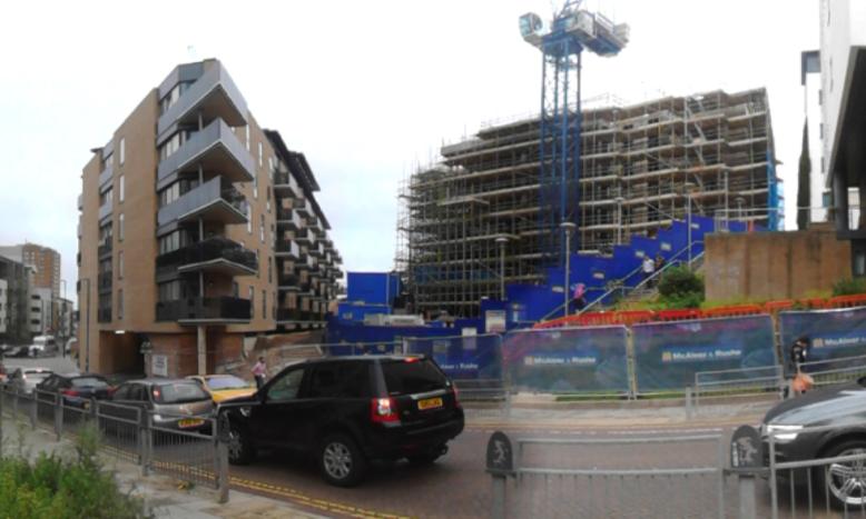
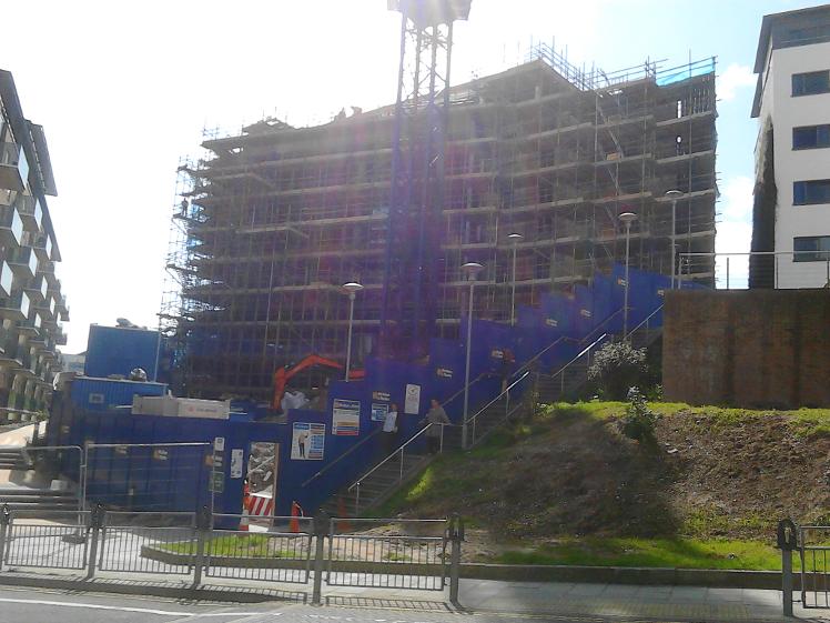
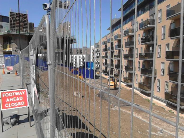
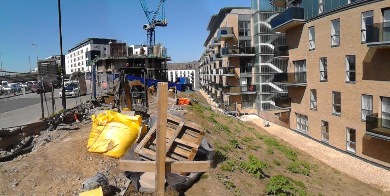
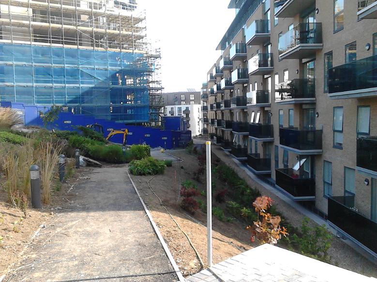
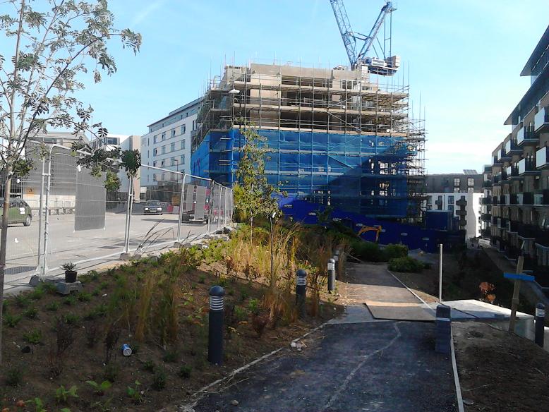
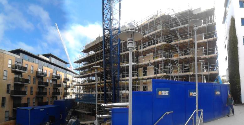
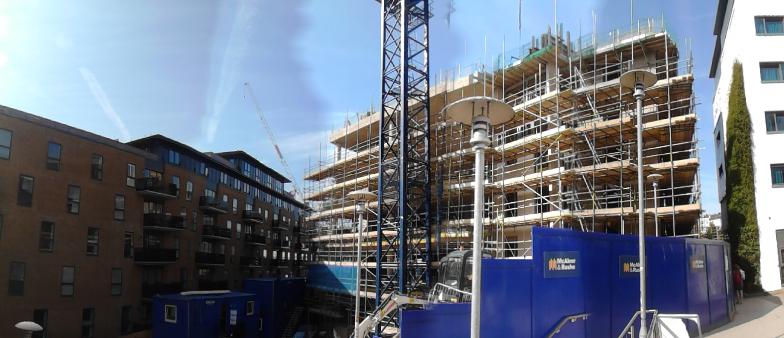
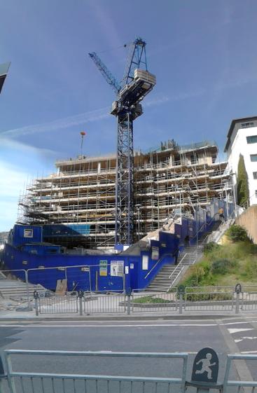
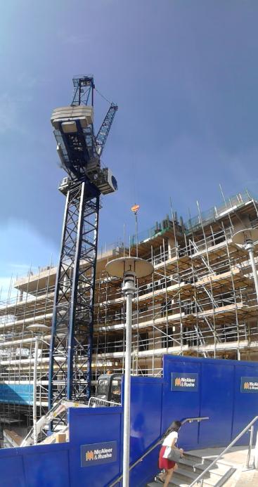
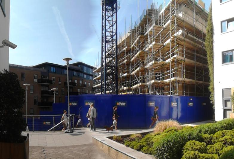
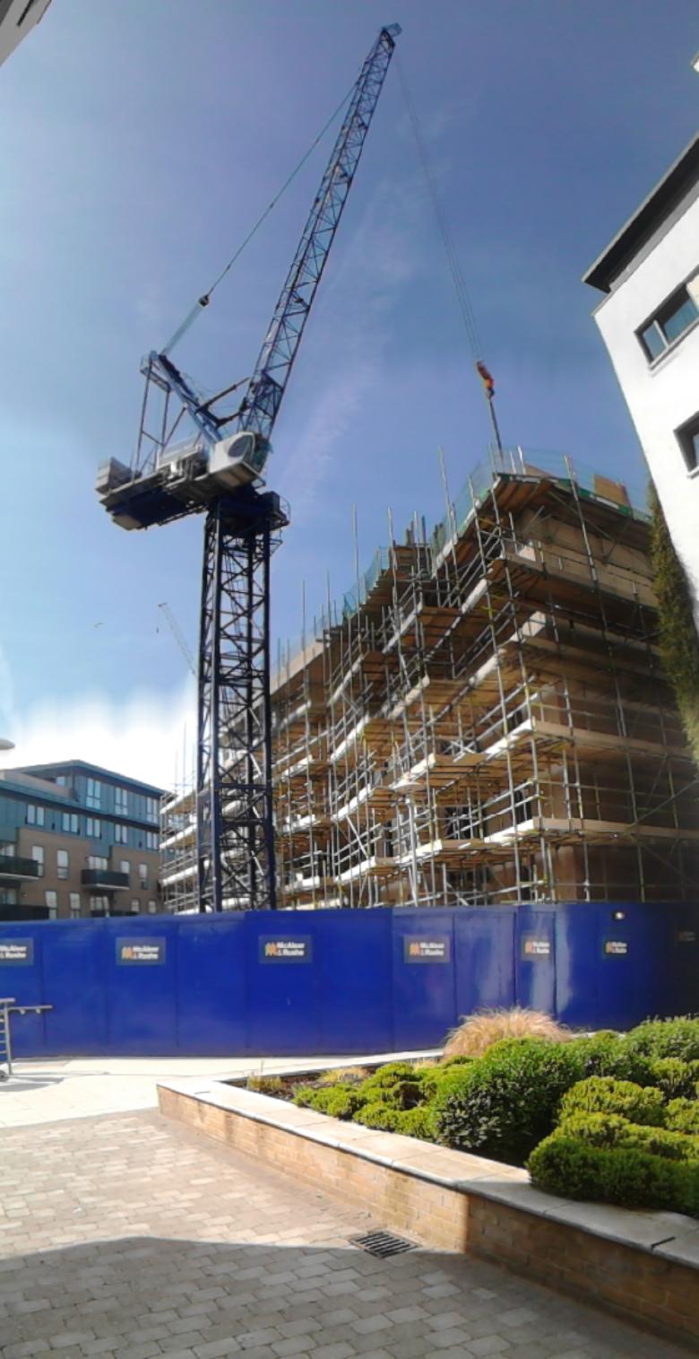
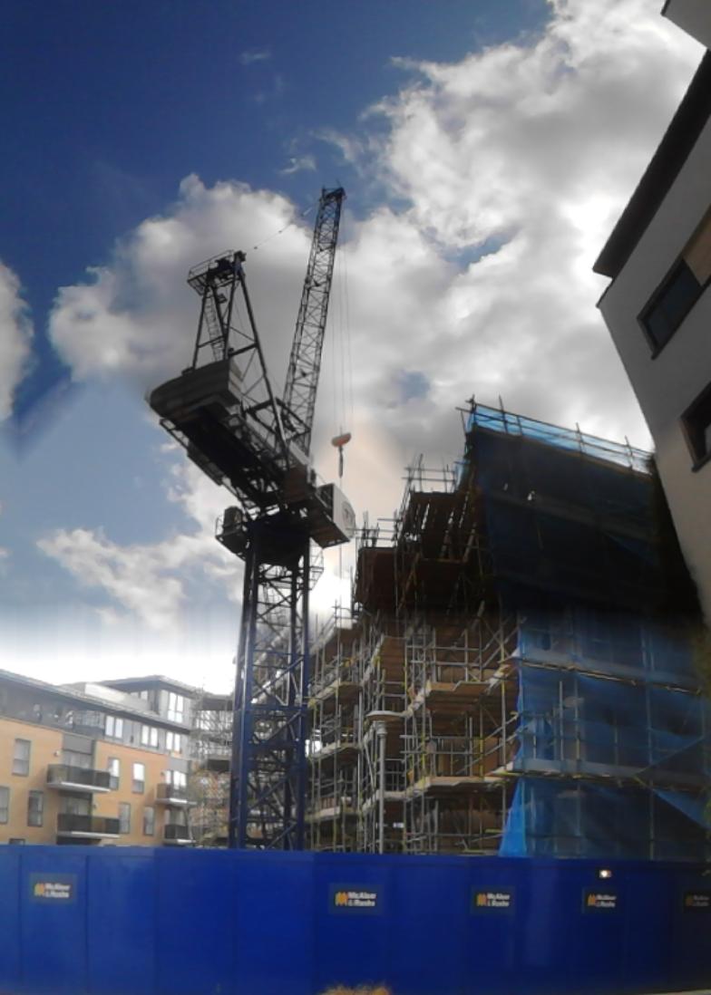
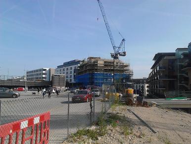
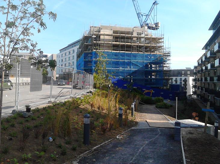
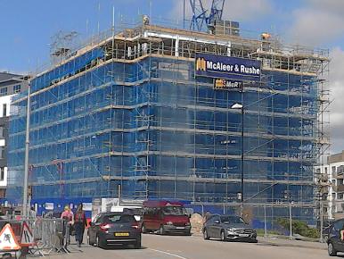
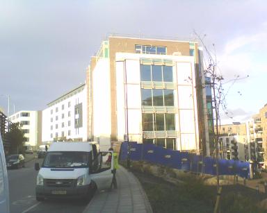
finished structure of CityView will look like. At the time of writing
(April 2015) the concrete framework bares little resemblance to the
glossy pictures, however, the path which forms the continuation of the
green Corridor of the old Lower Goods Yard Trackbed (seen far left in
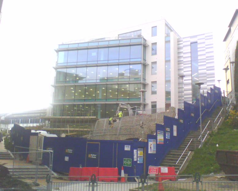
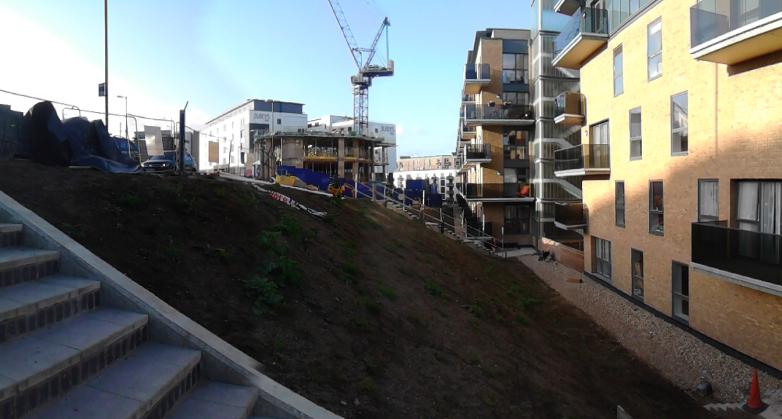
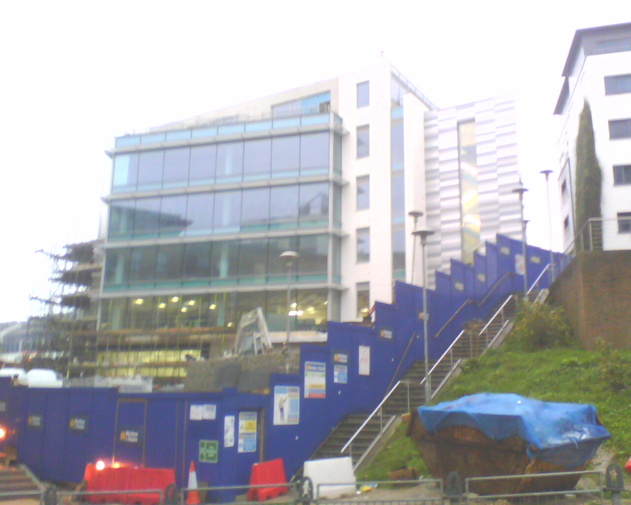
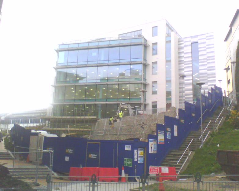
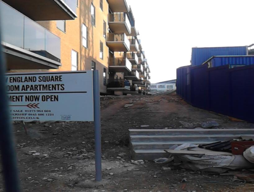
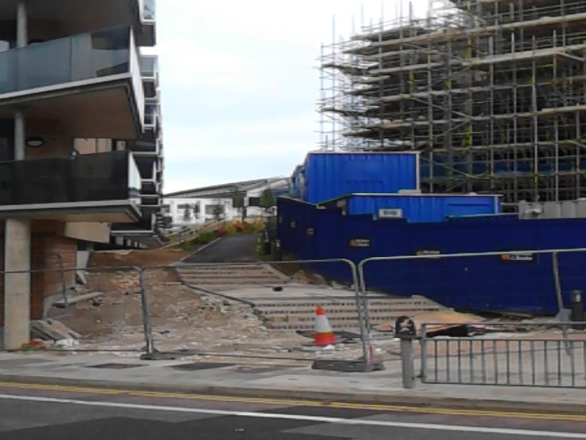
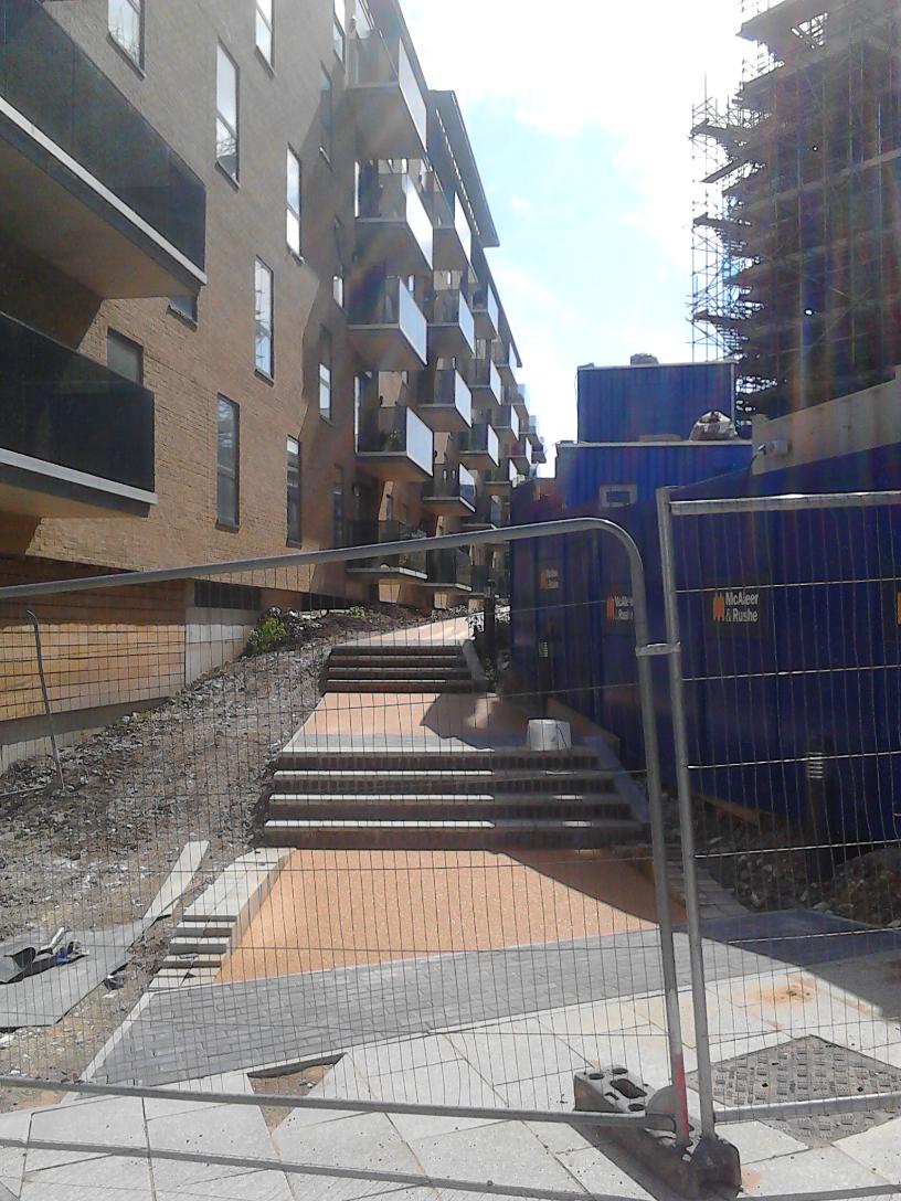
the photo) is in place and planting has begun. The staircase seen in the background is the one which goes up in front of the Jurys Inn, currently hidden from view by hoardings if one were to see the same view currently. The view is looking
roughly north, back along the path of the Lower Goods Yard Trackbed, towards the iron bridge across New England Road.
Image owned by McAleer Rushe Group.
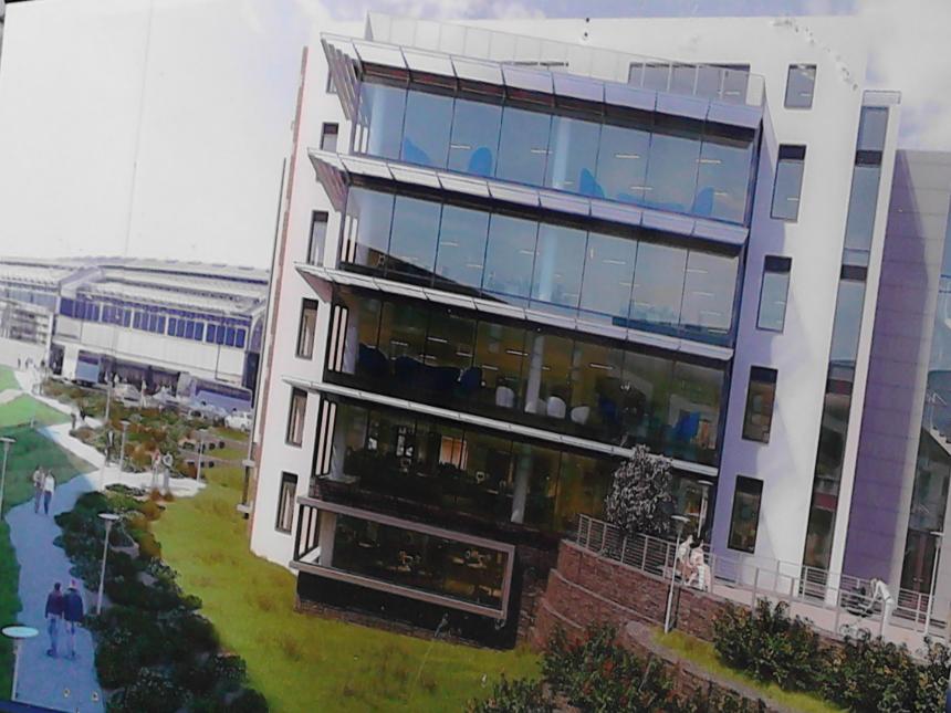
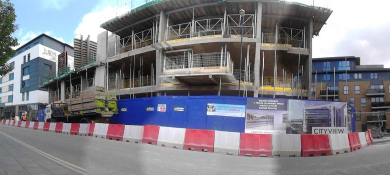
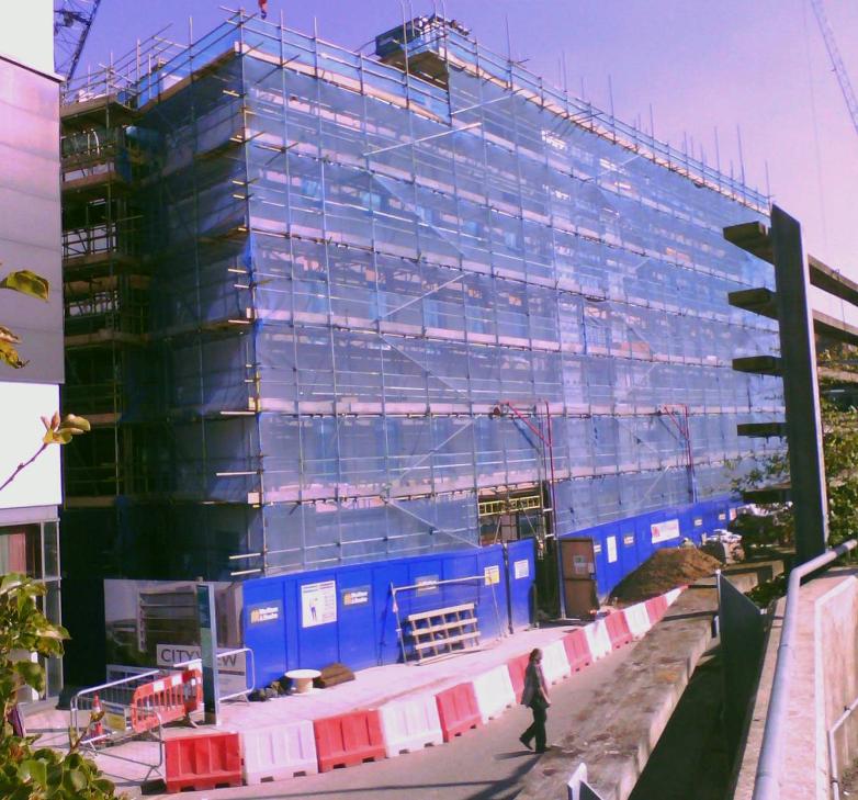
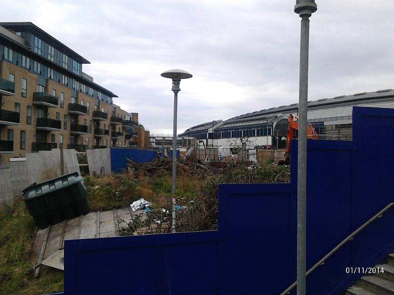
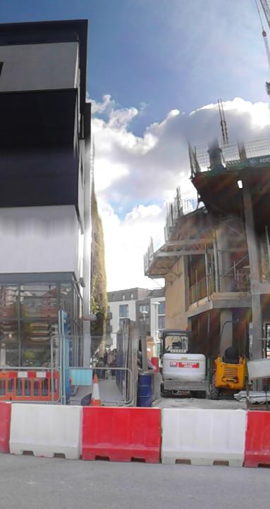
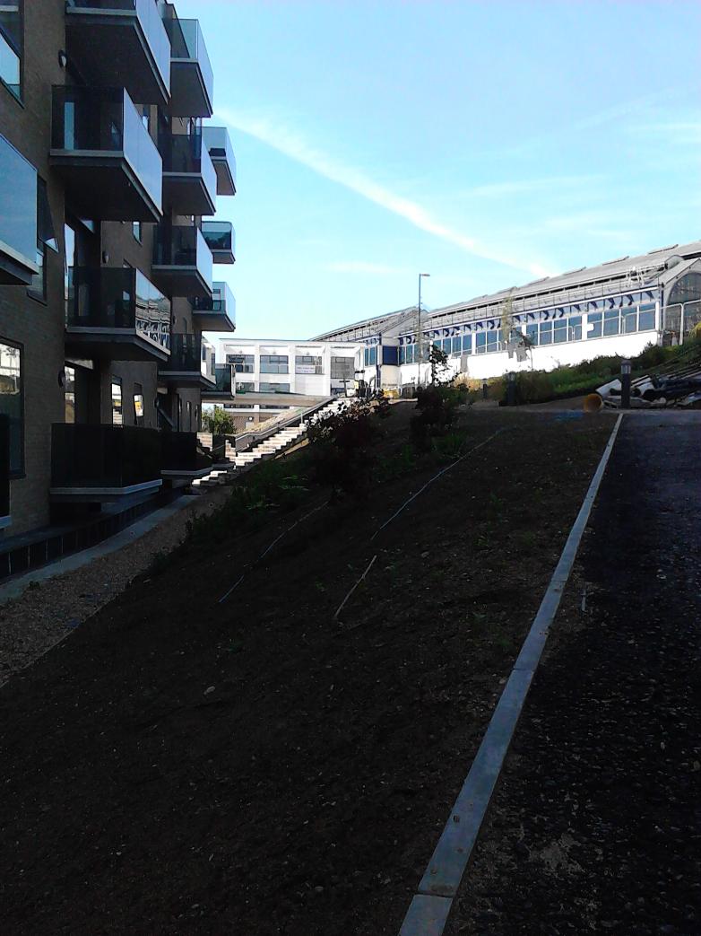
ABOVE: Artists' impression of what the finished structure of CityView will look like. At the time of writing (April 2015( the concrete framework bares little resemblance to the glossy pictures, however, the path which forms the continuation of the green Corridor of the old Lower Goods Yard Trackbed (seen far left in the photo) is in place and planting has begun. The view is looking roughly south-west and the station canopy for the drop-off point can be seen in the upper left hand corner. Image owned by McAleer Rushe Group.
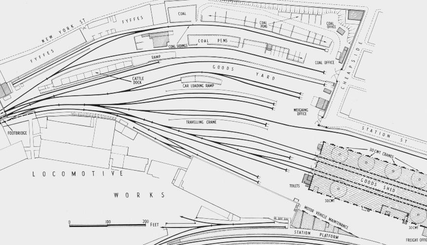
Above: This map shows the area of Brighton Station, Lower Goods Yard and the Loco Works in around 1932. The station edge and Kemp Town platform (platform 10) can be seen at the lower right hand edge. The approximate location of CityView relative to this era is on the left hand side of this photo, just above the second "O" of the word "LOCOMOTIVE" on the map, which shows how the layout of the Locomotive Works was, probably at the zenith of the Works' architectural development. Note the bank to the left / north of the site: this is where Jurys Inn stands in the present day, with the staircare running down the left hand edge of the "T" of the word "FOOTBRIDGE". OneBrighton would stand more or less where the Fyffes Warehouses are (top left). Kingscote Way stands on the site of the Coal Office (top right) in the present day. The Bicycle Hub is on the point where the Goods Shed stands (bottom right) and SuperB is more or less where the travelling crane stands on this map.
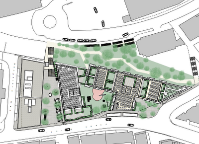
ABOVE: This map, whilst predominantly showing the layout for the SuperB development, also shows where CityView will one day stand. The site of CityView is the rectangular block with the little triangular bit sticking out, in the top right hand corner of this map.
