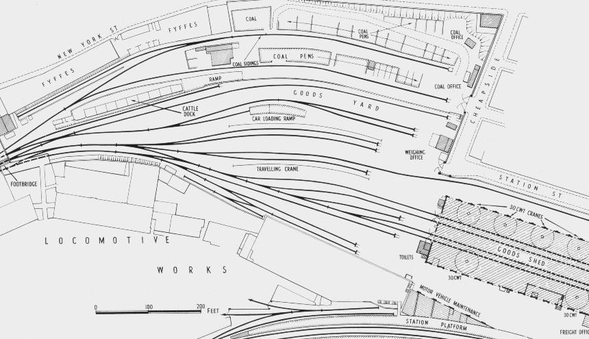

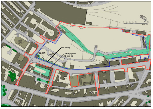
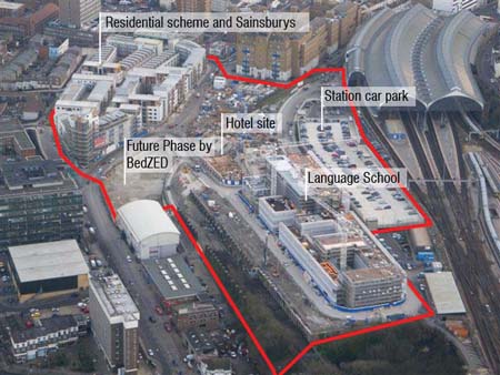
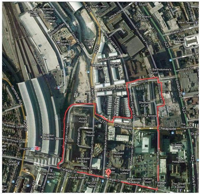
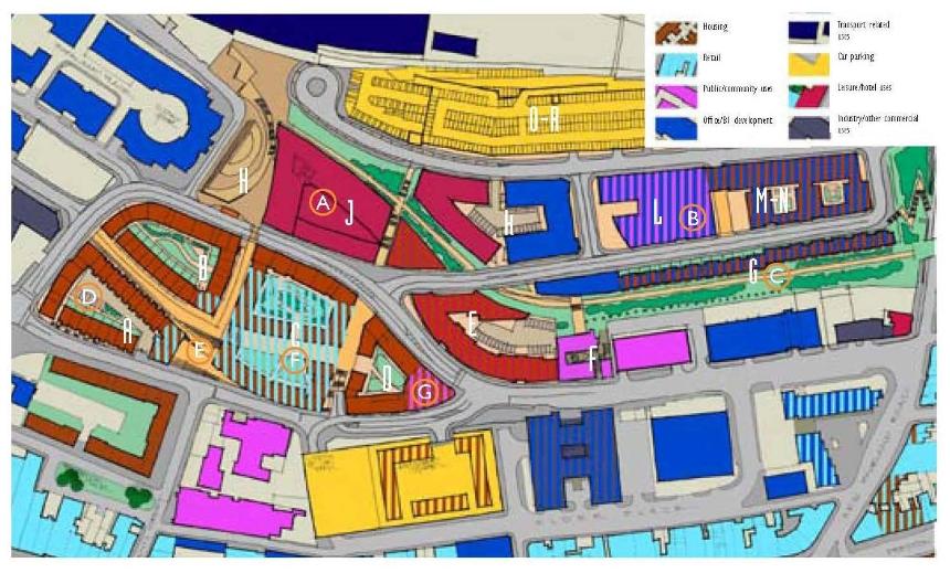
(ABOVE:) This picture shows the whole of the area to be redeveloped as it appeared in 2002, outlined in red. The area outlined in blue shows the extent of the area to be demolished and / or landscaped. The curve of the old car park access ramp can be clearly seen just to the right of the centre, along with the Pay Office and the Footbridge which were the main access to The Works Complex. As well as simple demolition, several of the roads around the site were developed or reshaped.
The area which would one day become Citypoint and Sainsburys can be seen in the bottom left quadrant of the area of the map outlined in blue.
A lot of the through routes from London Road received treatment to lead the eye into the architectural styles which would be employed in the new developments (three in all seen at the bottom of the map).
This map is owned by the Urbed Cooperative and appears here for illustrative purposes only.
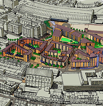
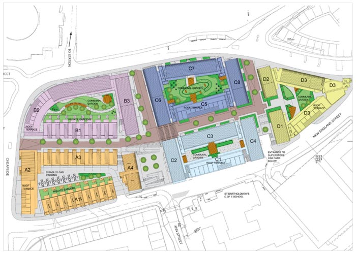
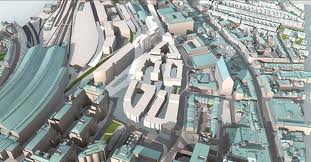
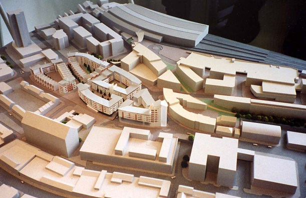


Top 2 photos owned by the URBED Cooperative.


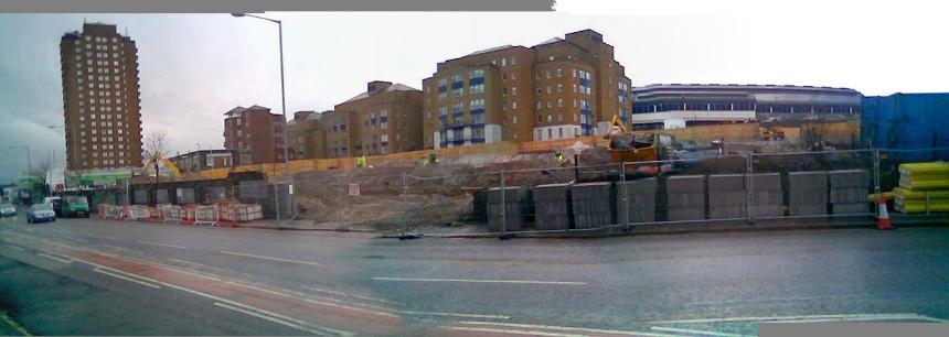

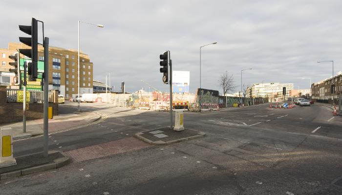

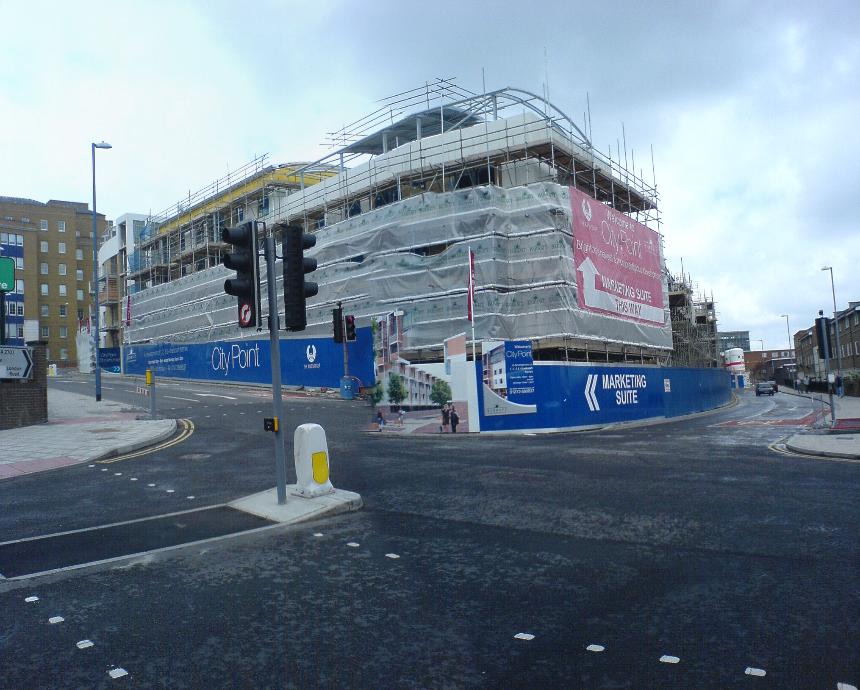
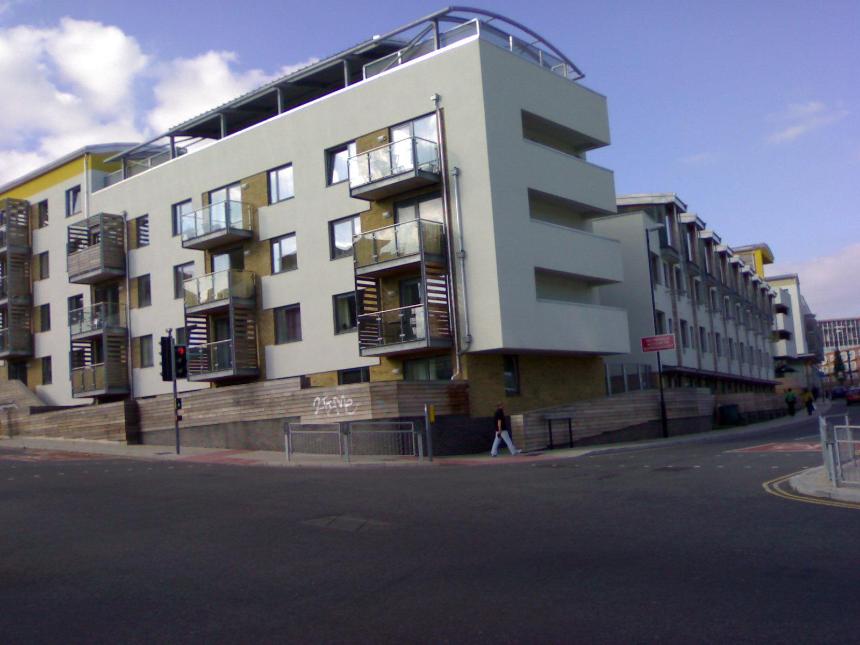
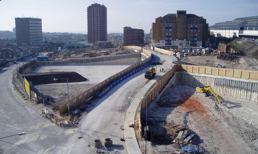
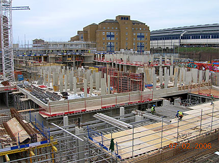
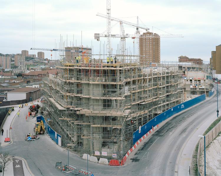
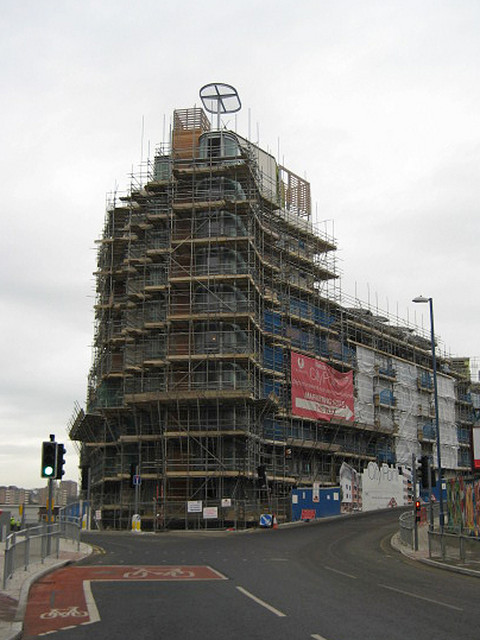
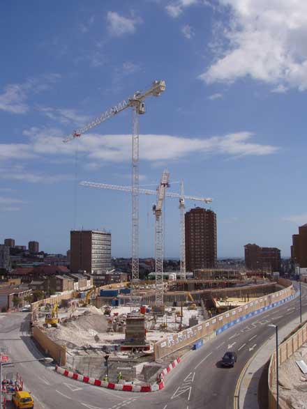
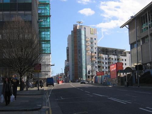
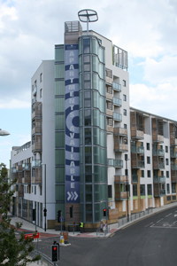


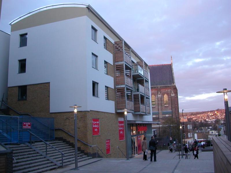
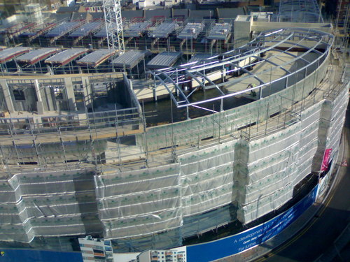
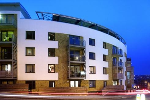

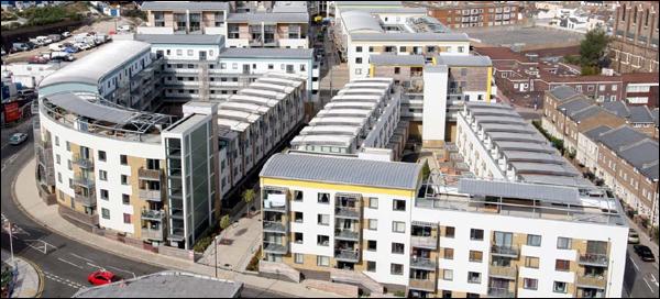
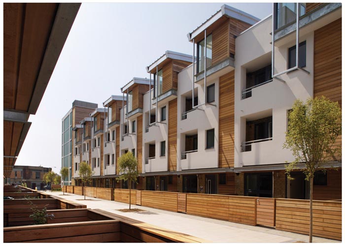
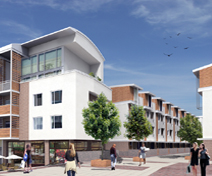
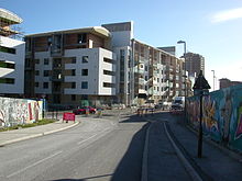

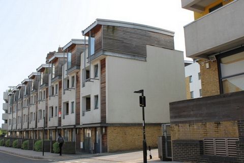
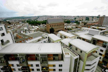

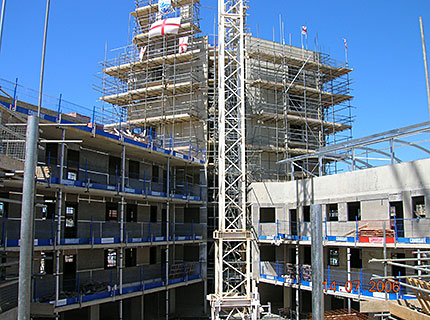
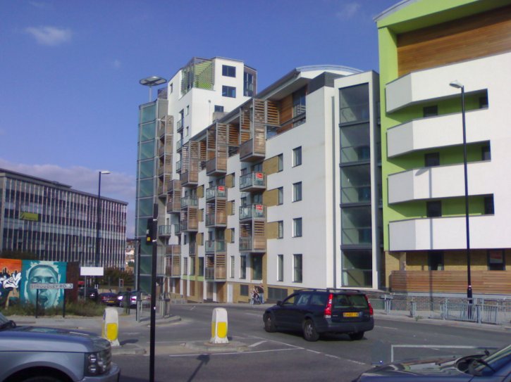
This photo shows the mainstay of the Citypoint development viewed from
the
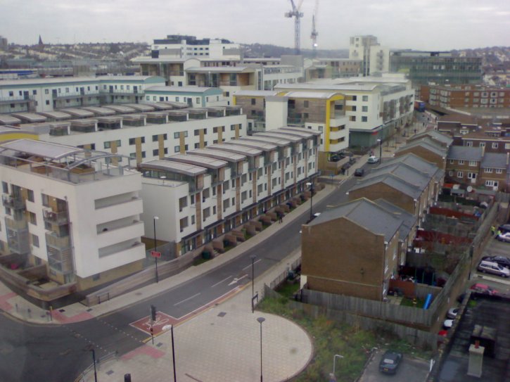
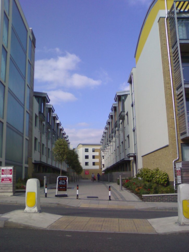
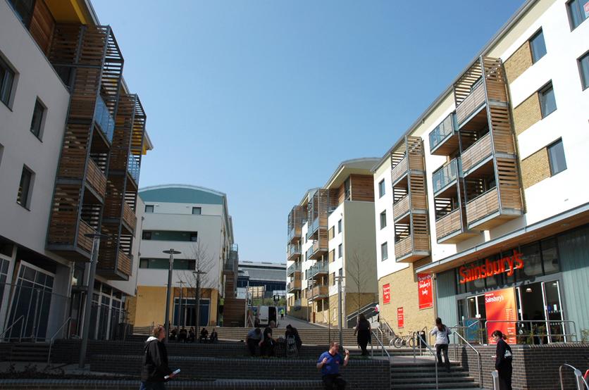
BELOW: This photo shows the cut-through to the courtyard area immediately outside the new Sainsburys.
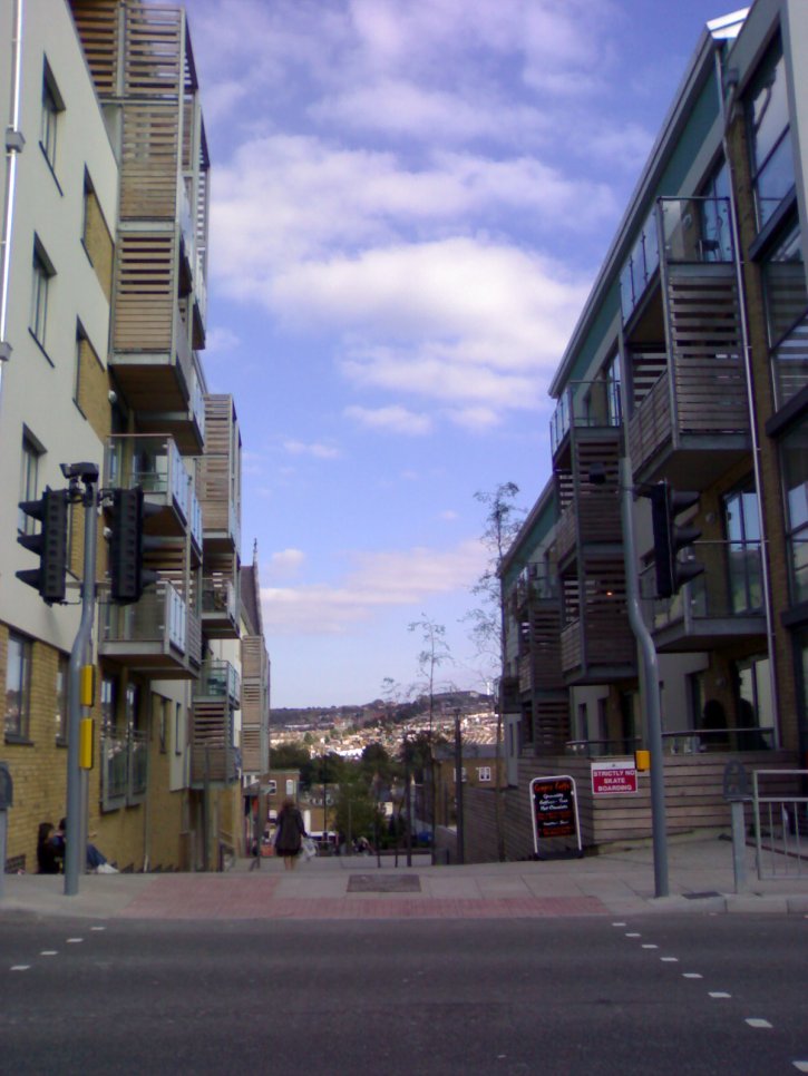
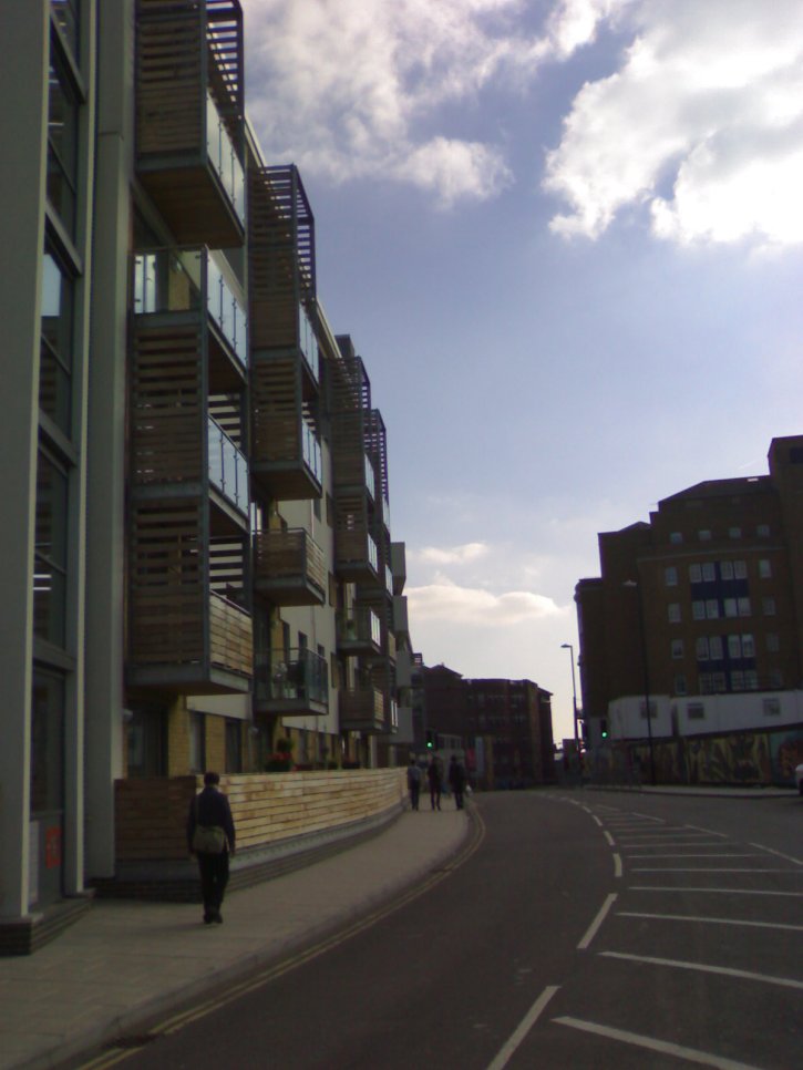
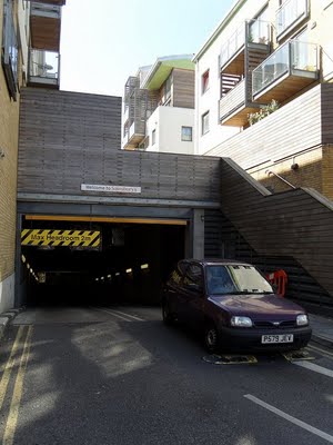
BELOW: As has been mentioned elsewhere in this project, New England Road was extensively broken up and part pedestrianised in the course of the site redevelopment. This area is just past CCK and just beyond the entrance to the NCP car park behind London Road Shops.

BELOW: This is the courtyard area just inside the V to the rear of the tower at the apex of the Citypoint block. The rear of the tower can be seen dead centre of the photo.
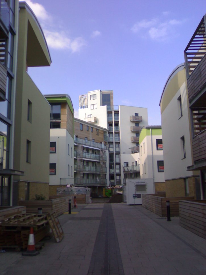
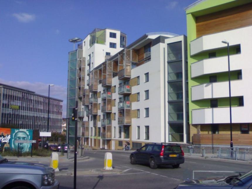
BELOW: This is the tower at the apex of the Citypoint and Sainburys block.
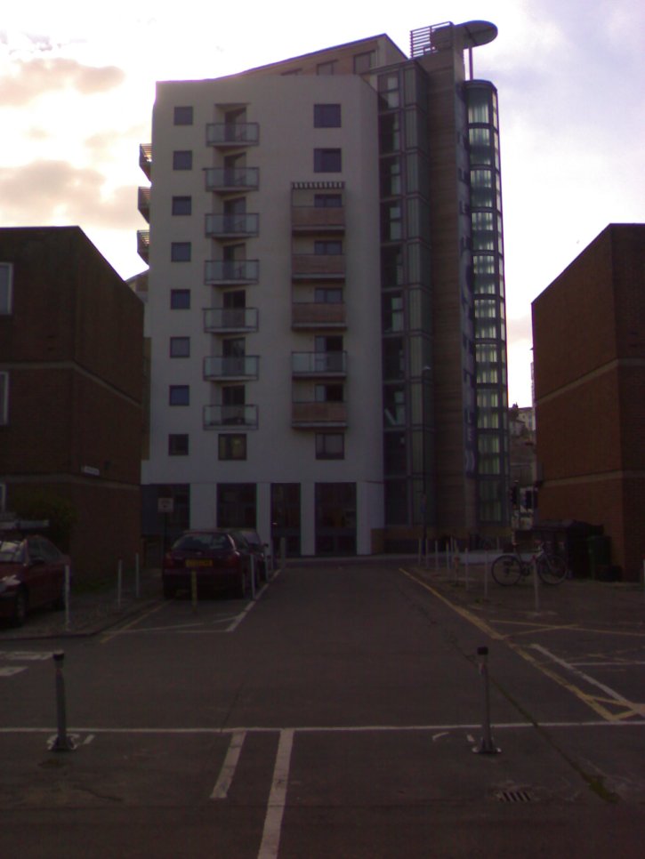
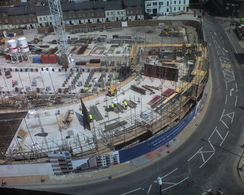
BELOW: This is the Citypoint tower looking roughly north-east, befor the creation of the onebrighton site opposite, facing the existing tower. New England House can be seen to the left of the photo, behind the hoardings for onebrighton.
